Los Quetzales
National Park
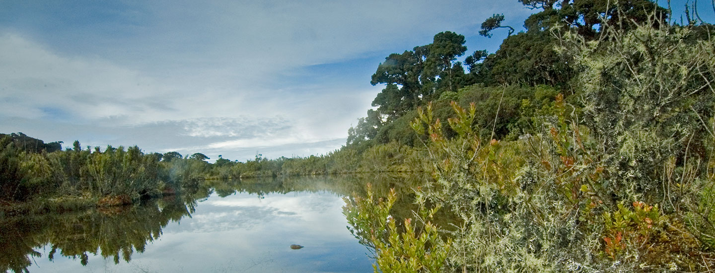
Los Quetzales National Park
Los Quetzales National Park is located in the district of Copey and canton of Dota, San José province, 76.5 kilometers south of the capital. It is a special area for birdwatching, particularly the quetzal (Pharomachrus mocinno), a near-endangered species according to the UICN list. The type of cloud forest generated by different climatic conditions includes trees covered with a wide variety of plant species, which makes them attractive to birds and animals that inhabit the area. It is home to many endemic species of flora and fauna. The areas of most endemic vegetation are high, subalpine and alpine montane floors, which include more than 50% of the 53 endemic species registered in the Savegre basin. In addition, the park is located at the head of the Savegre River Basin, a catchment and feeding area for aquifers. It is bordered to the north by La Amistad-Pacífico Conservation Area (separated by the Pan-American Highway), and to the northwest by Cerro Las Vueltas Biological Reserve. On one end, it borders the Pirris River Basin and the Reventazón-Parismina River Basin. The park's maximum elevation is 3,190 meters above sea level, and the minimum is 1,240. Temperatures range between 5-14° C, with annual average rainfall of 2,648 mm.