Chirripó National Park
Chirripó National Park
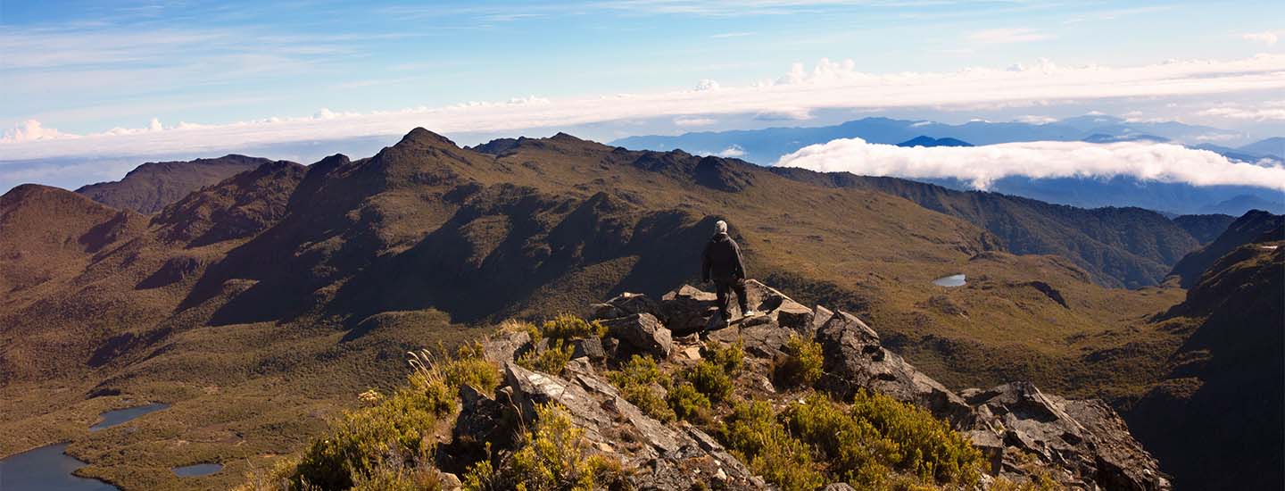
Variations in altitude, climate and soil give rise to one of the most ecologically diverse regions in Costa Rica. This park is situated in the Cordillera de Talamanca, which, at 320 kilometers, is the longest mountain range in the country. To get to Chirripo, visitors must travel to San Gerardo de Rivas. From its peak, on clear days, both Caribbean and Pacific coasts may be admired. On the route to the summit, hikers enjoy lush vegetation and bird-watching. Chirripo features various sculpted glacial formations such as U-shaped valleys, lakes (moraines) and terraces. Visitor services include information, a park ranger station, trails, signage, restrooms, drinking water, several natural viewpoints and lodging.
Surface Area
50,15
Hours of Operation
Every day from 8 a.m. to 4 p.m.
Telephone
+506 2742-5083
Directions
Take the Pan-American Highway (San José-Cartago), passing over the Cerro de la Muerte to San Isidro del General, for a total of 153 km. From there, the Chirripó National Park is about 20 km northwest of San Isidro, through the community of Rivas and later San Gerardo de Rivas, where the administrative offices and access to trails are located.
Universal Path
No